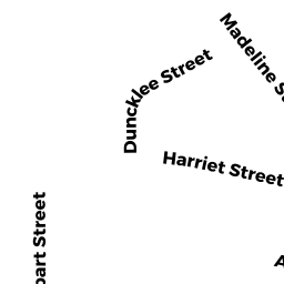
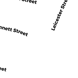
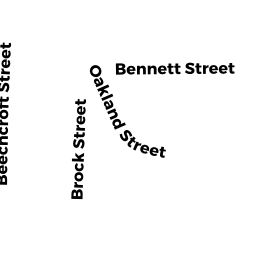
69 Bennett ST
Owner Information
FLAHERTY JAMES J
69 BENNETT
BRIGHTON, MA 02135

Property Details
69 Bennett ST is classified as a Two-Family Residential (Two fam stack).
The primary structure on this property was built in 1920. There is 2,778ft2 of residential/living space within this property. This property is listed as having 11 rooms.
69 Bennett ST is valued at $858,900. The land is valued at $278,700 and the structures are valued at $580,200.
The most recent deed for 69 Bennett ST is recorded at the local registrar in Book 42045, Page 322. 69 Bennett ST was last sold on Wednesday, June 27, 2007 for $530,000.
Assessment data from fiscal year 2020.
Flood Data
According to the FEMA National Flood Hazard Layer, this property does not appear to be in a flood zone. It may also be in an area not yet reviewed. Nonetheless, confirm this information prior to taking any action.
To view the flood hazards around this property, create a FEMA "Firmette" Map of the area around 69 Bennett ST.
Broadband Internet Providers
| Provider | Type | Bandwidth (mbps) | |
|---|---|---|---|
| Starry, Inc. | Fixed Wireless | 200 | 200 |
| HughesNet | Satellite | 25 | 3 |
| VSAT Systems, LLC. | Satellite | 2 | 1 |
| Viasat Inc | Satellite | 100 | 3 |
| Verizon New England Inc. | DSL | 15 | 1 |
| Verizon New England Inc. | Fiber | 940 | 880 |
| Comcast | Cable | 1000 | 35 |
| RCN | Cable | 500 | 20 |
| RCN | Cable | 1000 | 20 |
| GCI Communication Corp. | Satellite | 0 | 0 |
Broadband service provider data from December 2020.
Adjacent Properties
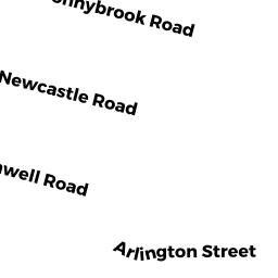
- 106 ARLINGTON ST
Single Family Residential owned by MORAN JOSEPH P - 102 ARLINGTON ST
Single Family Residential owned by SUBRAMANIAM ANNIE J - 98 ARLINGTON ST
Single Family Residential owned by YONG JOHNNY ON DONG - 65 Bennett ST
Two-Family Residential owned by POLTER RAPHAEL - 7173 Bennett ST
Two-Family Residential owned by CANTWELL BARRY J